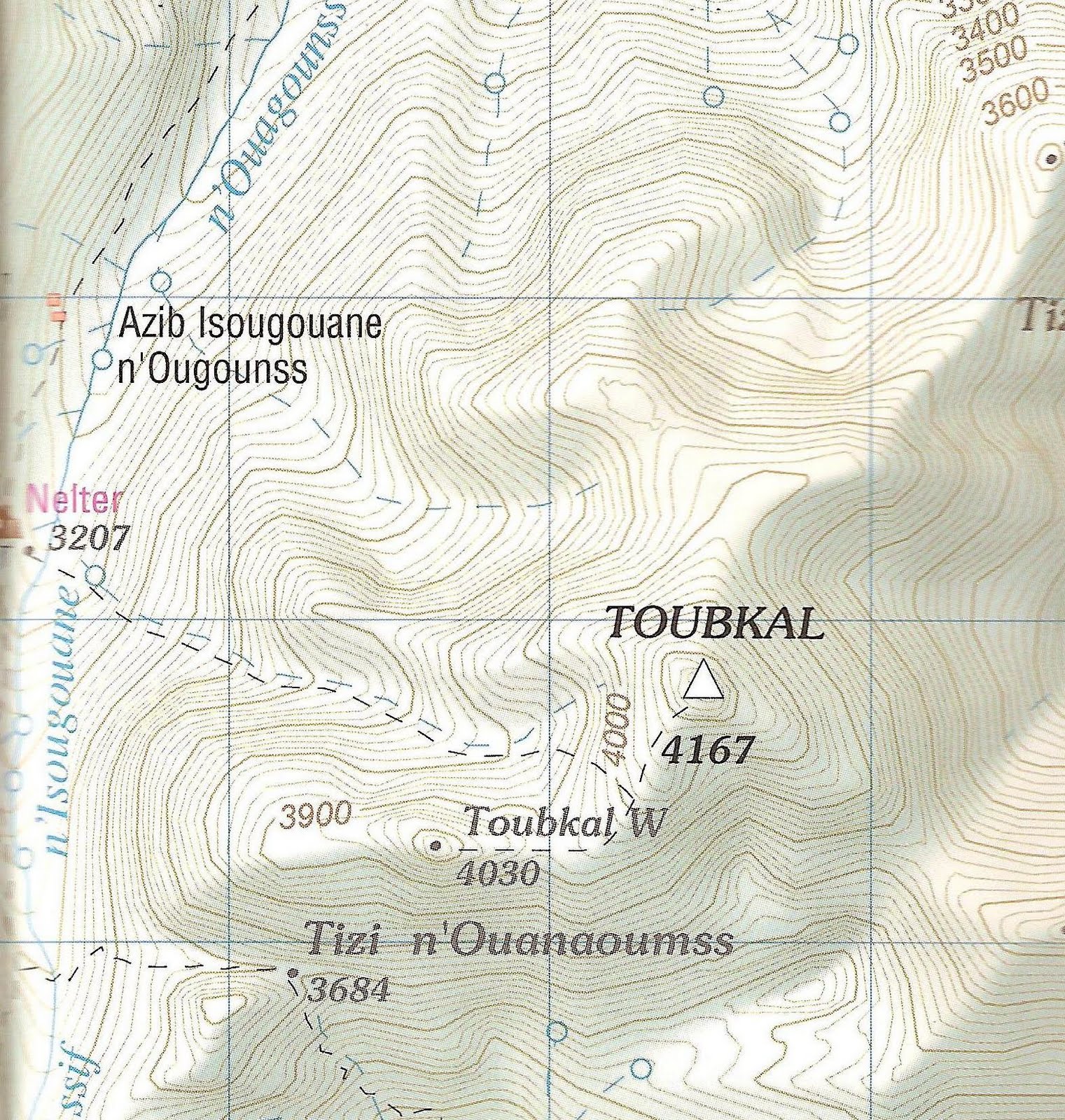
The trek consisted of a long day from Imlil (1600m) at the edge of Toubkal National Park up to Refuge Du Toubkal Les Mouflons at 3207m. So 1600m in 35-40Degree heat, with full expedition packs on....what a day huh? The day went smoothly until exiting the small village of Amround via a dry river bed when Ruth tripped and dislocated her knee.

However being the hardcore adventurer type, we promptly relocated the knee and continued on. This leg of the climb just goes on and on and on, the most annoying part of the trek was seeing the large groups of amateurs on the backs of mules heading up with no effort on their part what so ever. While on the subject of mules if you ever do this trek be very careful of the mules and muleers, they make the broad assumption that no matter what the circumstances they have right of way, and will quite happily egg their mules on along the track knocking you out of the way, crushing you against rocks, and generally not considering trekkers along the trail. After continuing through the small shrine of Sidi Chamarouch the path zig zags upward and continues up toward the hut. Eventually we arrived at the hut.

The summit day began up a steep scree slope in poor weather. After reaching the col we continued on upward and up to a false summit before moving along the summit ridge to a giant Iron summit cairn. After enjoying being at the highest point in North Africa we heading back down and to the hut. The following day we descended back to Imlil thus completing our trek.

Equipment wise a brief look at the best bits of kit I had with me;
Leki Makalu Ultralite poles: Brilliant, simply brilliant, I have always highly recommended poles for mountaineering of all kinds, for descending they came in particularly handy really helping to take the weight off my knees on descent.
Marks and Spencers Microskin Boxers: Mark and Spencer boxers eh? Might seem like I’ve got mad but good god these are the best shreddies I have ever worn, so comfortable all day long, I highly recommend these for all outdoor activities!
Camelbak Unbottle 1.5L: Did very well up until I lost the valve for the drinking tube in the scree field. However when I did use it, it kept the water so cool in my back and was refreshing to drink from.
Scarpa Manta: My boots once again proved they are perfect for anything from winter climbing to high altitude trekking in high heat!

Big shout out to the rest of the team, a climb like this is what the team make it, and the our team made the trek for me. Cheers guys.